I N C E P T I O N A I
The best product for you is already out there. Our AI finds it, because we answer to you, not advertisers.
The best product for you is out there. Let's find it.

The best product for you is already out there. Our AI finds it, because we answer to you, not advertisers.
The best product for you is out there. Let's find it.

DJI Matrice 350 RTK
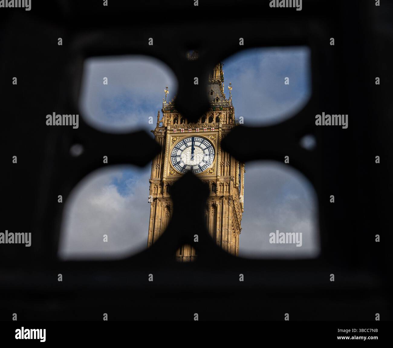
King & McGaw Big Ben London Framed Photograph

DJI Phantom 4 RTK
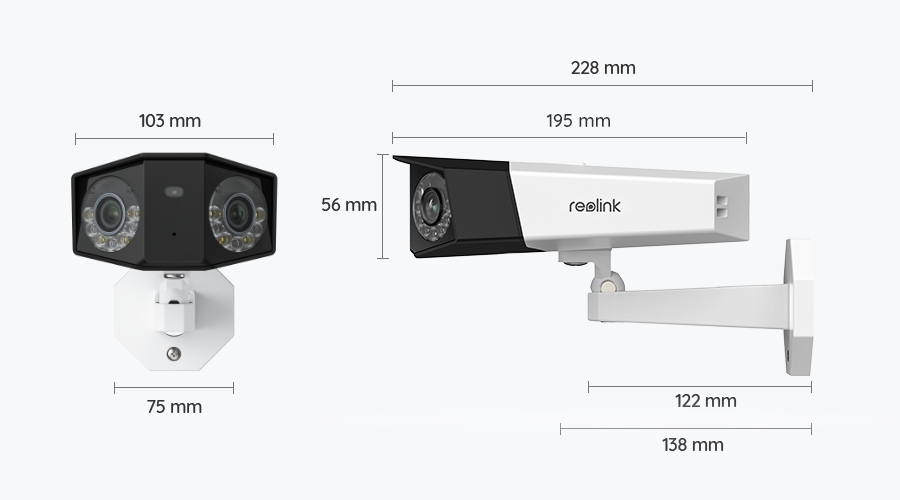
Reolink Duo 3 PoE
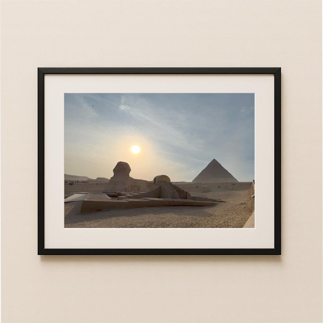
National Geographic Great Sphinx of Giza Framed Print

Arlo Pro 5S 2K

senseFly eBee X
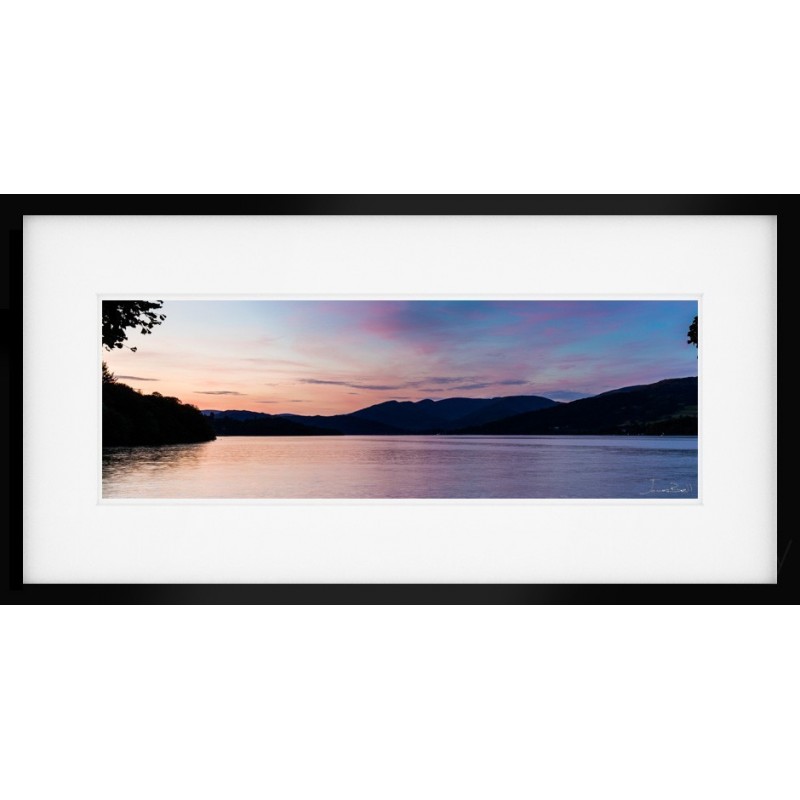
Lake District Windermere Sunset by James Bell Fine Art Print
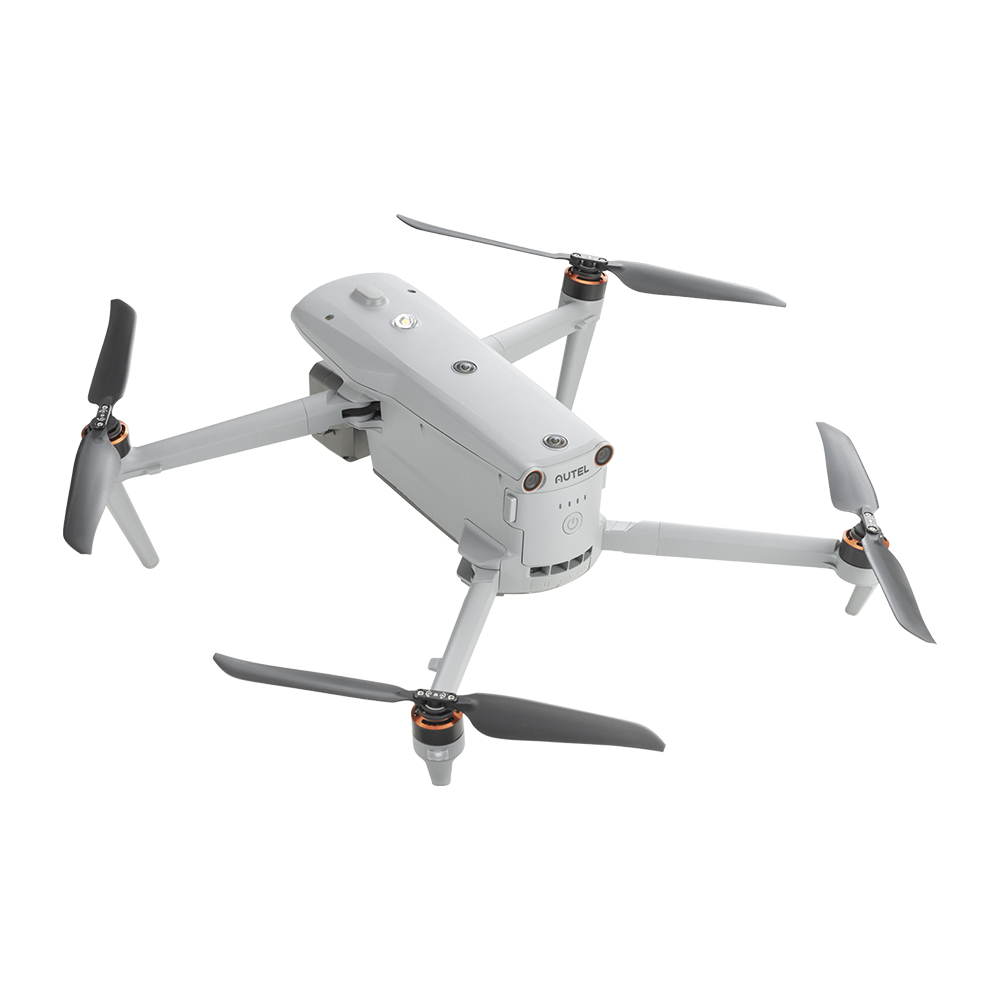
Autel EVO Max 4T

Ring Stick Up Cam Battery

Parrot Anafi USA

The Cotswolds in Bloom - Fine Art Photography Print by UK Landscapes

Eufy SoloCam S340

Autel Robotics EVO Lite+

Hikvision DS-2CD2086G2-IU